A weather bomb is defined as an intense low pressure system with a central pressure that falls 24 millibars in a 24-hour period. This phenomenon is known to meteorologists as ‘explosive cyclogenesis’ and often leads to high winds and heavy rain, or snow, if the temperature is low enough.
On Boxing Day evening, this is exactly what happened as the ‘bomb’ tracked across North Wales, the North Midlands and South Yorkshire. Unfortunately, the southern edge of the system passed over Bracken House resulting in nine centimetres of snow falling between 17:00 and 02:00 the following morning.
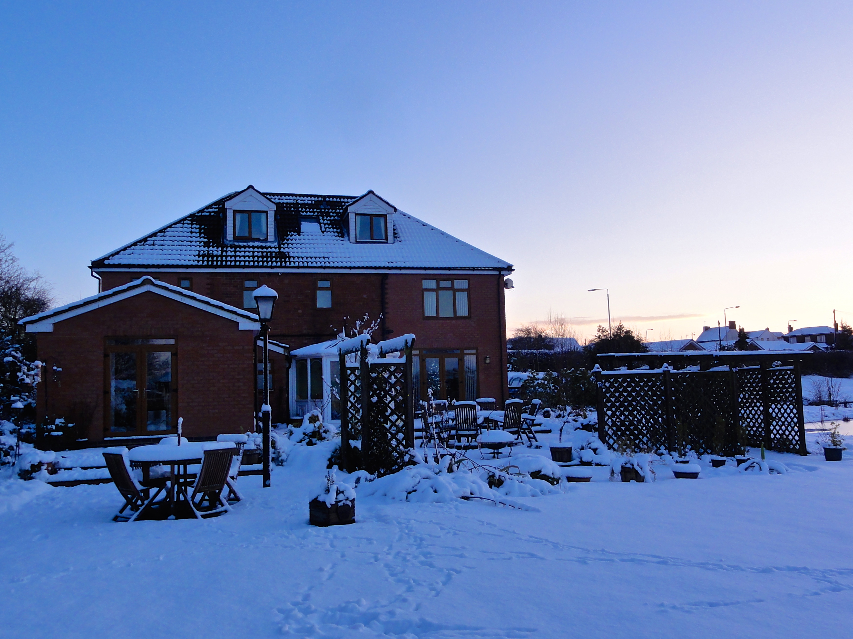
Bracken House in the snow. Taken on December 27th 2014.
The maximum pressure recorded was 1030.0 millibars at 00:08 on the 26th. This fell to 1004.7 millibars at 22:15 – a drop of 26.3 millibars in a little over 22 hours. This brought a short spell of rain around dusk, which quickly turned to snow after dark. The fall resulted in Selston being almost cut off for a few hours.
Normally, Selston is well gritted, sometimes when it isn’t really necessary, but on this occasion, Nottinghamshire County Council got it all wrong and no gritters were seen. It was left to the local councillors and residents to work until the early hours gritting the hills and helping to free trapped motorists.
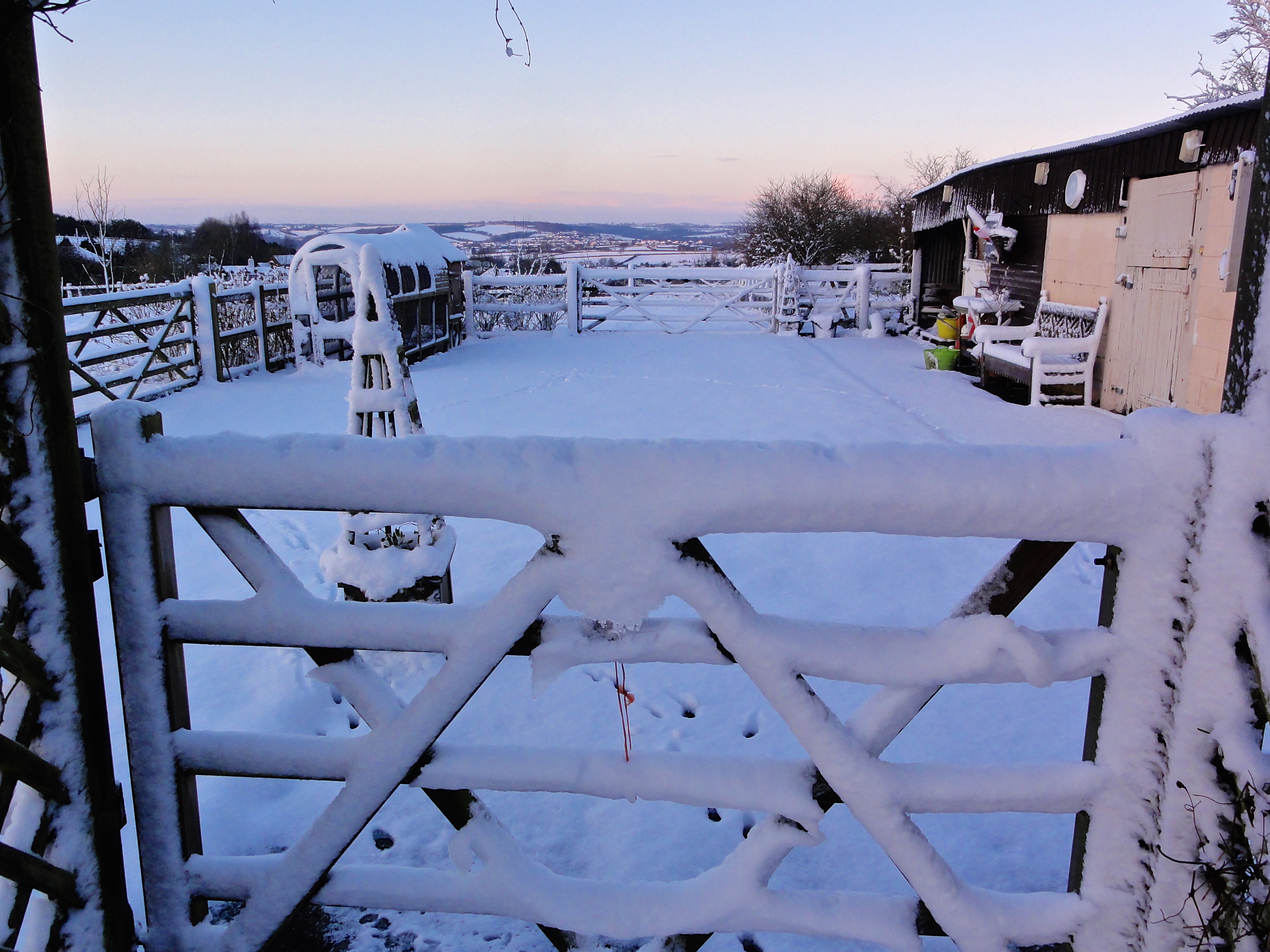
Looking out over the valley from the paddock. Taken on December 27th 2014.
The temperature hovered just above freezing all night, but the biting wind chill of -5.2°C was the lowest recorded this year. The snow depth was around nine centimetres, although 14 centimetres was measured in more exposed areas of the garden.
The following day saw bright sunshine, but with temperatures peaking at 2.2°C, this had little impact on the lying snow.
Related articles
- What Is a “Weather Bomb?” The Vane Explains (thevane.gawker.com)
- 45 to 65 ‘weather bombs’ each year (belfasttelegraph.co.uk)
- UK weather sees blizzards cause travel chaos (dailymail.co.uk)
- White Christmas off the cards but weather bomb set to hit on Boxing Day (mirror.co.uk)
- A closer look at ‘weather bombs’ (metofficenews.wordpress.com)
- What is a weather BOMB? British storm fact-file explains fierce phenomenon (express.co.uk)
- Newcastle weather: What on earth is a weather bomb? (chroniclelive.co.uk)